

Seattle's housing stock reflects more than a century of growth, changing transportation, and some pretty challenging geography. A 1920s Craftsman in Wallingford, a mid-century house in Wedgwood, and a newer townhome in Ballard were built for different lifestyles, technologies, and expectations. Understanding a little of that history can help explain what you're looking at when buying a home here.
Start with plumbing. Many of Seattle's older houses were built with clay or concrete side sewers, galvanized water lines, and cast iron drains. Over time, owners replaced systems in stages, which is why it's common to find several generations of plumbing in the same house. A remodeled bathroom doesn't necessarily mean the pipes beneath it are new.
Sewer lines are especially worth investigating. Older clay and concrete pipes weren't always built with watertight joints, making them more susceptible to root intrusion and deterioration. Seattle Public Utilities has historical side sewer records available online, and a camera inspection can help establish the current condition. I'd consider a sewer scope for newer homes too, since construction damage and installation problems aren't limited to older properties.
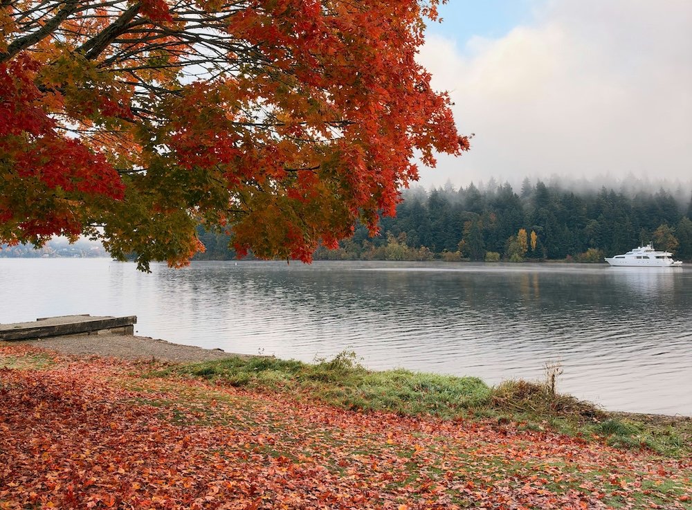
That brings us to Seattle's trees. Much of the original forest was cleared during the city's early development, and the mature residential canopy we appreciate today is partly the result of subsequent planting and landscaping. Seattle adopted the Olmsted Brothers' parks and boulevards plan in 1903, helping establish the interconnected green spaces that remain an important part of the city's landscape.
You can appreciate this history walking through Ravenna, Mount Baker, or the streets surrounding Schmitz Preserve Park in West Seattle. Mature trees contribute shade, seasonal color, and character to these neighborhoods. From a real estate perspective, they're also worth examining for their proximity to sewer lines, foundations, roofs, and potential construction areas. Seattle has specific tree protection regulations, so it's useful to understand what work may be permitted before planning major changes to a lot.
The way Seattle developed also helps explain why some neighborhoods are so walkable. Before cars became common, streetcars were central to the city's expansion. Residential neighborhoods grew around routes connecting people to downtown, and shops naturally clustered near streetcar stops and intersections. Many of those commercial corridors are still recognizable today.
California Avenue in West Seattle, N 45th Street in Wallingford, and the business districts of Fremont and Columbia City all reflect aspects of Seattle's earlier, more locally oriented development patterns. Grocery stores, restaurants, parks, and shops are often grouped around established neighborhood centers rather than spread evenly throughout residential streets.
When evaluating walkability, it's worth looking at those historic commercial corridors and the actual routes connecting them to a property. A house a few blocks from a neighborhood center may offer convenient errands without requiring every trip to be made on foot. Sidewalks, crossings, and elevation are also part of the picture.
And Seattle's elevation is no small detail. Glaciers helped shape the region's hills and valleys long before the city developed around them. Early engineers attempted to overcome some of that terrain through major regrading projects, most famously the Denny Regrade. Elsewhere, the hills remained, shaping streets, houses, and transportation routes.
Seattle even built public stairways where streets were too steep to continue as regular roadways. Queen Anne has examples dating back more than a century. In neighborhoods like Phinney Ridge, Beacon Hill, and West Seattle, elevation continues to influence architecture, with daylight basements, terraced yards, retaining walls, and elevated decks making use of the terrain.
These features can be appealing, but the practical considerations are worth understanding. A sloped lot may require more attention to drainage, retaining walls, foundation conditions, and driveway access. For significant slopes, I'd also check whether the property falls within Seattle's mapped Environmentally Critical Areas before assuming an addition or major landscaping project will be straightforward.
The same geography that shaped Seattle's homes also shaped its transportation network. The Lake Washington Ship Canal, which opened in 1917, transformed the waterways north of downtown and made bridges essential connections between neighborhoods. Later highways and bridges added faster routes across the region, but Seattle still depends on a relatively small number of major crossings.
This explains why commute times don't always correspond neatly to distance. Fremont's connections to South Lake Union, West Seattle's bridge access, and the routes between Seattle and the Eastside all depend on particular corridors. When evaluating a home, I like to consider the actual commute, alternative routes, and nearby transit rather than relying solely on mileage.
Finally, there's parking. Many of Seattle's older neighborhoods developed before widespread automobile ownership. Garages were added as cars became common, often as detached structures accessible from alleys. Seattle's historic housing research documents how automobiles prompted some of the first major alterations to early residential properties, including garage additions and basement conversions.
You can still see that evolution in Ballard, Wallingford, and West Seattle, where older houses often have detached garages, narrow driveways, or alley access. These arrangements can be useful for parking, workshops, and storage, but their dimensions reflect the period when they were built. It's worth measuring a garage rather than assuming it'll accommodate a modern vehicle. In areas with Restricted Parking Zones, it's also important to understand that a residential permit doesn't guarantee an available street space.
What I find interesting about Seattle real estate is how these details connect. An old streetcar route helps explain a neighborhood's shopping district. The hills help explain the street layout and basement design. The age of the house offers clues about plumbing and parking, while the mature trees reflect decades of growth around it.
When I'm evaluating a Seattle property, I try to understand those connections alongside its condition, price, and layout. You don't need to become a local historian to buy a house, but knowing why something was built the way it was can help you recognize its advantages, anticipate maintenance, and make better decisions.
Further reading and Seattle property resources
- Seattle's Historic Neighborhood Commercial Districts
- Seattle's Early Residential Architecture and Development
- Seattle Side Sewer Cards and Maps
- Seattle Public Utilities: Side Sewer Defects
- Seattle Transportation: Historic Public Stairways
- Seattle Restricted Parking Zones
If you're buying a home in Seattle, visit my Seattle buying guide. If you're thinking of selling your home, start with my selling roadmap. Browse Seattle neighborhoods or learn more about me.